Observation Date
1/3/2025
Observer Name
Manship, Kelly, Kelly, and Pressman
Region
Provo » American Fork » Tibble Fork
Location Name or Route
Tibble Fork-American Fork- Dry Fork- Silver Lake
Comments
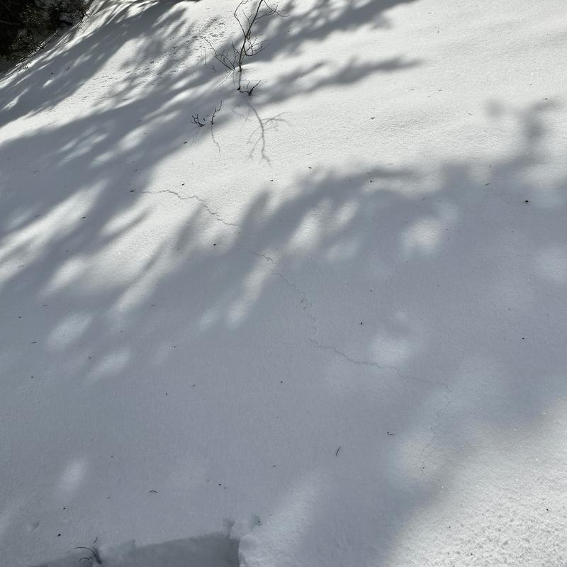
While approaching the slope we triggered a large collapse accompanied by cracking (photo below). We found evidence of a couple of crusts to keep and eye as we go forward. The current layer of concern is at the ground and is breaking below an old melt freeze crust. We saw a CT fail on isolation at this layer three times. We had ECTPV on this layer twice. The structure in this location on an east facing slope was poor.
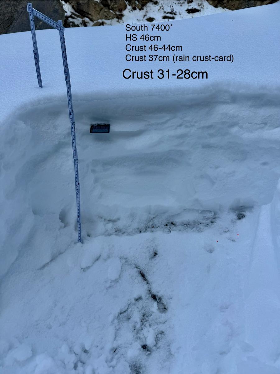
Secondary snowpit dug on a south aspect at 7,400'. In this location the height of snow was 18" (46cm) and there were three distinctive crusts in the top third of the snowpack. The one that got our attention was 4" (10cm) from the surface and was a very weak thin breakable crust (marked by black crystal card) that may be related to one of the rime/rain events.
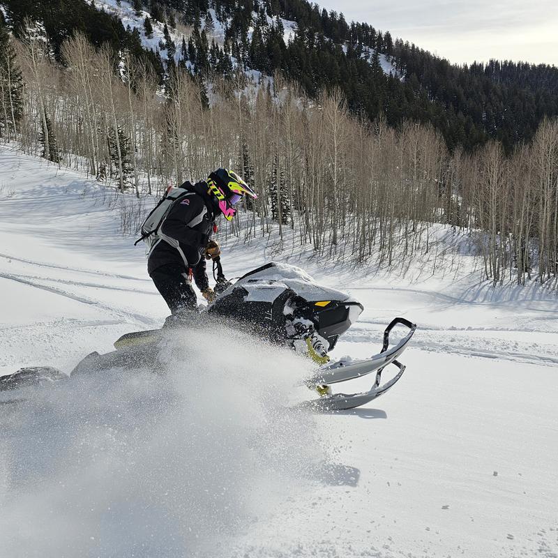
In our travels we found the snowpack to be thinner than elsewhere in the Wasatch. We moved from low elevations around 6400' to 8600' staying mostly on roads. It was warm out and most low elevation and mid elevation solar had a crust. Travel off trail has improved, the snow from the Christmas storm has settled out nicely providing support from the weak sugary snow below, but the total snow depth is still thin and obstacles lay in wait below the surface.
We noted many significant collapses along our travels. While the occurrence of this may have decreased over the last couple days, it is still happening which is indicative of the weak snowpack we are dealing with.
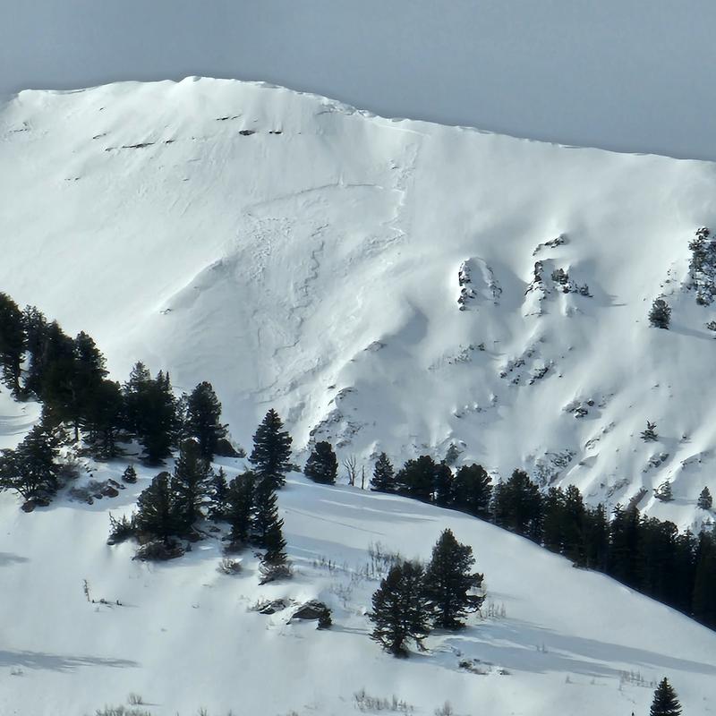
We noted strong winds up high on the ridgelines that were moving snow. Below is a photo of a wind slab that may have been triggered recently or over the last couple of days on a southeast aspect of Box Elder Peak around 10,500'.
Today's Observed Danger Rating
Considerable
Tomorrows Estimated Danger Rating
Considerable
Coordinates


