Donate to Our Spring Campaign or Bid on our Spring Auction to Support Forecasting

Forecast for the Skyline Area Mountains

Brett Kobernik
Issued by Brett Kobernik on
Friday morning, January 27, 2023
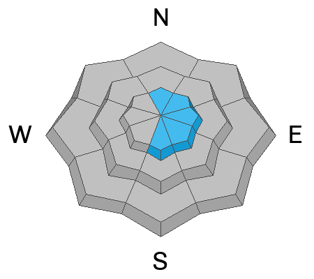
There is a MODERATE avalanche danger rating for upper elevation terrain where wind is forming fresh drifts.
Wind from the west will create drifts mostly on the east side of upper elevation ridges and peaks. The drifts will be sensitive as they form.
If you avoid the steep and windy higher terrain, the avalanche danger is generally LOW.
Low
Moderate
Considerable
High
Extreme
Learn how to read the forecast here
Weather and Snow
Current Conditions: It's almost balmy this morning compared to the last few. Mountain temperatures are between 15˚ and 20˚F. The wind is currently pretty slow from the west. Riding conditions remain as good as they get.
Mountain Weather: Wind is the weather headline. It looks like it could get a bit windy as the day goes on. Anticipate pretty strong wind from the west by this afternoon. Temperatures will get into the mid 20s. Cloud cover is going to be tricky again with enough low level moisture to support clouds around the mountains. We may see a trace of new snow on Saturday and then a bit better looking storm is taking shape for Sunday night.
Ad
Avalanche Problem #1
Wind Drifted Snow
Type
Location
Likelihood
Size
Description
The anticipated stronger wind today will drift snow and form wind slabs of snow. These are often sensitive when they are forming and directly afterward. Avoid steep slopes where wind is depositing snow. This problem is most pronounced along the higher ridges but watch for fresh drifts forming anywhere you travel. If you avoid steep slopes that have fresh drifts and wind slabs, you won't be in any danger of triggering an avalanche today.
General Announcements
This forecast is from the U.S.D.A. Forest Service, which is solely responsible for its content. This forecast describes general avalanche conditions and local variations always occur.