Donate to Our Spring Campaign or Bid on our Spring Auction to Support Forecasting

Forecast for the Logan Area Mountains

Toby Weed
Issued by Toby Weed on
Thursday morning, March 11, 2021
The danger is LOW in the backcountry, and large avalanches are unlikely. Remember that Low danger does not mean No danger, and here are a couple things to watch for today;
  1. Although unlikely for people to trigger, large avalanches failing on a deeply buried persistent weak layer remain possible in very steep rocky terrain and on outlying slopes with thin snow cover.
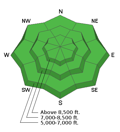
  2. ​​​East winds increased overnight, drifting the few inches of fresh snow and forming shallow and probably sensitive wind slabs at upper elevations in unusual places.
Use normal caution...
Low
Moderate
Considerable
High
Extreme
Learn how to read the forecast here
Special Announcements
Allen Foss of Preston, ID was killed in an avalanche Saturday, February 20, near Sherman Peak. Please consider supporting the Foss family during this difficult time.
Weather and Snow
It's a cool 19°F this morning at the 8400' Tony Grove Snotel, and there is about four inches of light new snow from yesterday, with 72 inches of total snow and 84% of normal SWE. East winds increased overnight and are currently blowing 25 to 30 mph at the CSI Logan Peak weather station, its 11°F, with a -10°F wind chill at 9700'. We're expecting a chance of snow showers again today, high temperatures at 8500' around 27°F, steady and even strengthening east winds, and wind chill values as low as -5°F. Cool and unsettled weather will continue into the weekend, with snow showers possible each day, but not much in the way of accumulation likely. Looks like the sun will come out on Sunday...
We found nice dust-on-crust and shallow powder conditions at upper elevations yesterday.
Recent Avalanches
It's been well over a week since any human triggered or natural avalanches failing on our nasty widespread buried persistent weak layer have been reported.
A very extensive natural avalanche cycle occurred in mid February and evidence is still apparent across the zone including deep crown lines, large chunks and very long piles of avalanche debris.
Evidence of our widespread natural cycle that occurred in mid-February can still be seen in most areas. Here is a nice one on the north face of Millville Peak.
Ad
Avalanche Problem #1
Normal Caution
Type
Location
Likelihood
Size
Description
  • Although gradually becoming unlikely for people to trigger them, any potential avalanches could still be large and very dangerous. Although suspect weak layers appear to be dormant in many areas, the sugary faceted snow near the ground is still dry, and it will probably continue to be devious. Avalanches remain possible for people to trigger on very steep slopes, in rocky terrain, and on outlying drifted slopes with generally thin snow cover.
  • East winds increased overnight, drifting a few inches of fresh snow and depositing shallow wind slabs in perhaps unusual or unexpected places at upper elevations. These will be soft and generally manageable, but may be quite sensitive and could pick up speed, running on a thick melt-freeze crust.
Additional Information
Do you have the essential avalanche rescue gear (transceiver, probe, and shovel) and do you know how to use them? Watch this video to see how the three pieces of equipment work together. HERE
Please keep practicing with the Beacon Training Park at the Franklin Basin Trailhead. Test yourself and your riding partners. It is free, fun, and easy to use.
General Announcements
Visit this website with information about Responsible Winter Recreation by the Utah Office of Outdoor Recreation.
EMAIL ADVISORY. If you would like to get the daily advisory by email you subscribe HERE.
Remember your information can save lives. If you see anything we should know about, please help us out by submitting snow and avalanche observations....HERE. You can also call us at 801-524-5304, email by clicking HERE, or include #utavy in your Instagram, or @UAClogan on Twitter.
We will update this forecast by around 7:30 tomorrow morning.
This forecast is from the USDA Forest Service, which is solely responsible for its content. The forecast describes general avalanche conditions and local variations always occur.