Join us at our 2nd Annual Blizzard Ball

Forecast for the Abajos Area Mountains

Eric Trenbeath
Issued by Eric Trenbeath on
Monday morning, February 5, 2024
Recent snowfall on top of a weak, underlying snowpack has created dangerous avalanche conditions. Human triggered avalanches are likely on steep, northerly aspects. Look for increasing danger midweek when the next round of snowfall begins.
Low
Moderate
Considerable
High
Extreme
Learn how to read the forecast here
Weather and Snow
The recent storm system brought a foot of new snow at 1.5" of Snow Water Equivalent (SWE) to Camp Jackson. Buckboard SNOTEL in lower North Creek is reporting 8" at 1.0" SWE. This did not trigger a natural avalanche cycle, but it has increased the likelihood for human triggered avalanches, particularly on steep, northerly aspects. In my travels up North Creek on Saturday, I found extremely weak snow with reactive stability tests at lower elevations. I did not venture up high due to dangerous conditions. Expect the danger to increase again mid-week as the next Atmospheric River event brings more snow to the mountains. I'll update this forecast with more information as things develop.
NWS forecast for the Abajo Mountains.
Snow totals and temps at Buckboard Flat (8924')
Snow totals and temps at Camp Jackson (8858')
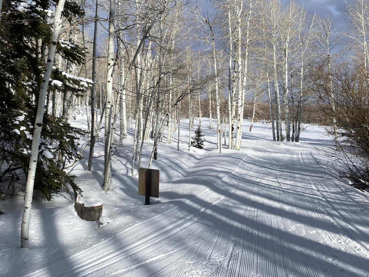
Harts Draw, Buckboard, and 70's flat were freshly groomed on Monday.
General Announcements
This forecast is from the U.S.D.A. Forest Service, which is solely responsible for its content. This forecast describes general avalanche conditions and local variations always occur.