Observer Name
J. W. Hall/UAC Staff
Observation Date
Monday, January 15, 2024
Avalanche Date
Sunday, January 14, 2024
Region
Salt Lake » Mill Creek Canyon » 1000 Springs
Location Name or Route
1000 Springs East onto Millcreek Canyon Ski Trail (Road)
Elevation
8,400'
Aspect
North
Slope Angle
Unknown
Trigger
Natural
Avalanche Type
Soft Slab
Avalanche Problem
Persistent Weak Layer
Weak Layer
Facets
Depth
Unknown
Width
Unknown
Vertical
600'
Comments
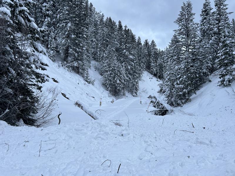
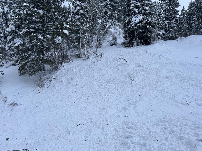
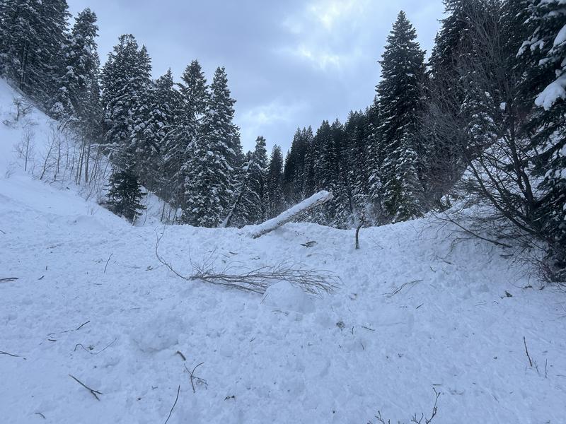
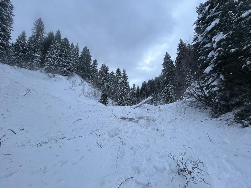
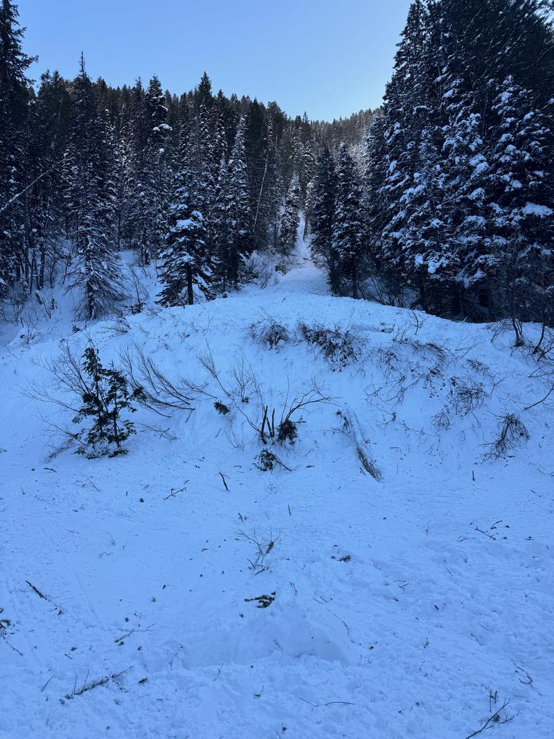
Early morning Nordic skiing and came across two debris piles crossing the Millcreek Canyon Road at Thousand Springs, the lower of which was smaller than the considerable debris pile further up the road. While it's uncommon, some avalanches make it down to the road; the larger debris pile had a few large, mature trees indicating an energetic event. The larger debris pile entirely covered the road and impacted the slope on the other side.
Perhaps another indicator of a very reactive and energetic snowpack, and a good reminder to be aware of avalanche terrain above and below you. Had you been in the wrong place at the wrong time when this debris pile ran out across the road, you probably would have been carried into the creek, maybe buried a dog--it would have been a notable event.
Forecaster Note: This avalanche was in one of the eastern Thousand Springs gullies.
Comments
Staples and Kelly went to look at this slide on the afternoon of Monday January 15, 2024. It had been reported mid-morning to the UAC. We observed soft debris with trees and vegetation. The debris had not been covered over by new snow which leads us to believe it happened in the early morning hours after it stopped snowing. We attempted to get to the crown face via the Bonus Bowl ridge and were unable to see the crown face or any debris running through 1000 Springs from the safety of the ridgeline. We noted many collapses and an avalanche in Bonus Bowl which kept us from going any further into avalanche terrain. It was not worth the risk to see just how far this avalanche was and how wide it might have been at the start. We do know that it continued downslope into the main 1000 spring gully and deposited enough snow over the Mill Creek road to have buried a traveler. There was also evidence of debris on the other side of the road. This is an area that hasn't slid often and so far we haven't talked to anyone (1/15/2024) who has memory of it sliding in the past. If you do please contact us. There is also a report of this avalanche in Z Wall's observation. Best guess on vertical drop is 600' based on where we traveled and what we could see of the debris and couldn't see of the crown at the top of 1000 Springs. Read more about our observations HERE.
Comments
Report of two avalanches in February 2008 hitting the Mill Creek Road near Elbow Fork:
and in 2007 https://utahavalanchecenter.org/avalanche/87728
Coordinates


